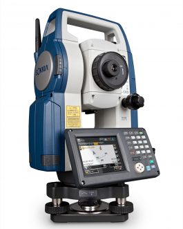
An electronic/optical instrument used for surveying and building construction. It is an electronic transit theodolite integrated with Electronic Distance Measurement (EDM) to measure both vertical and horizontal angles and the slope distance from the instrument to particular point, and an on-board computer to collect data and perform triangulation calculations
TOTAL STATION
An electronic/optical instrument used for surveying and building construction. It is an electronic transit theodolite integrated with Electronic Distance Measurement (EDM) to measure both vertical and horizontal angles and the slope distance from the instrument to particular point, and an on-board computer to collect data and perform triangulation calculations
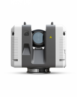
LASER SCANNER
tions Laser An instrument that can accurately measure and collect data from objects, surface, buildings, and landscapes. Laser Scanners collect information in the form of point cloud data, which consist of millions of 3D coordinates (XYZ coordinates).
OUR COMPANY
Established since February 2012, PT. Matriks Geosolusindo is a Distributor for surveying equipment. We provide accurate solutions for mapping and surveying needs according to it's difficulty in the field, in line with the latest technology, at competitive price. Our services consist sales, rental and training for measuring instruments from various and well-known brands such as: Leica, Topcon, Sokkia, Trimble, etc.
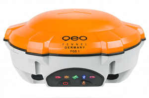
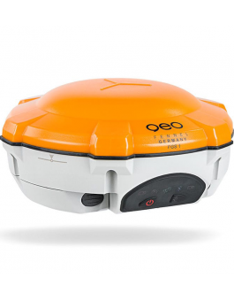
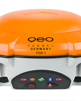
GPS
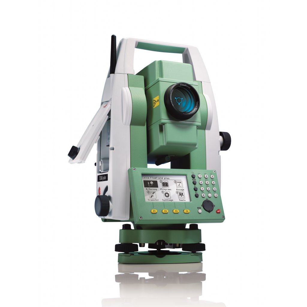
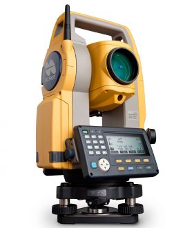
An electronic/optical instrument used for surveying and building construction. It is an electronic transit theodolite integrated with Electronic Distance Measurement (EDM) to measure both vertical and horizontal angles and the slope distance from the instrument to particular point, and an on-board computer to collect data and perform triangulation calculations
TOTAL STATION
An electronic/optical instrument used for surveying and building construction. It is an electronic transit theodolite integrated with Electronic Distance Measurement (EDM) to measure both vertical and horizontal angles and the slope distance from the instrument to particular point, and an on-board computer to collect data and perform triangulation calculations
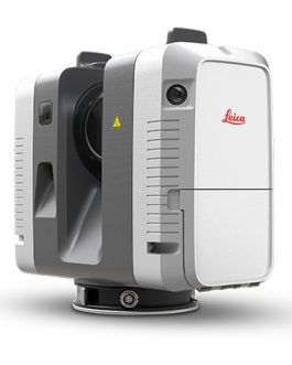
LASER SCANNER
tions Laser An instrument that can accurately measure and collect data from objects, surface, buildings, and landscapes. Laser Scanners collect information in the form of point cloud data, which consist of millions of 3D coordinates (XYZ coordinates).